INTRODUCTION: THE GEOGRAPHY OF ERASURE
Africa’s ancient borders were spiritual and symbolic. Makanda was not erased from existence it was erased from the map.
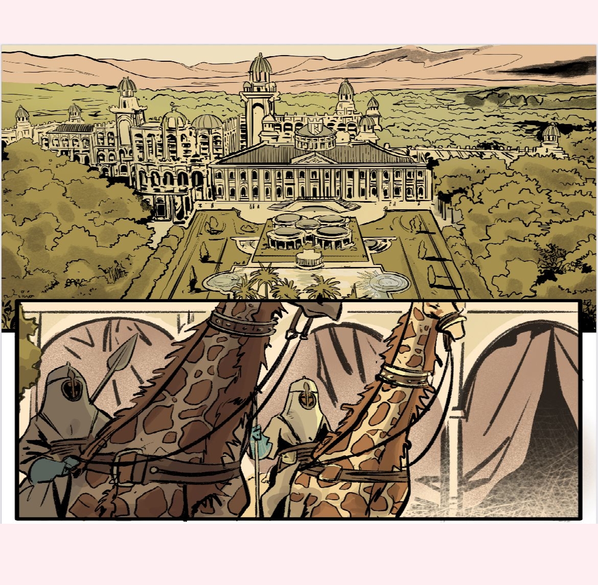
WHAT WAS THE MAKANDA EMPIRE?
Makanda was a network of kingdoms, sanctuaries, and flame temples. It was aligned by energy, not borders.
- River junctions that mirrored constellations
- Mountain altars connecting sky and soil
- Underground flame-vaults recording time in light
REBUILDING THE LOST MAP
The Isolele team is reconstructing Makanda through oral testimony, cosmograms, and sacred geometry.
KEY LOCATIONS:
- Tree of Pemba – ancestral archive of soul codes
- Temple of Frequency – healing through sound and light
- Shinkolobwe Mines – vault of stellar tech
- Twin City of Light and Shadow – mirrored capitals above and below
- Veil of N’koko – rainforest firewall of energy
THE GLYPHS
Makanda used symbolic cartography spiral sequences, triangle beads, animal sigils, and fire lines encoded in fabric, rituals, and bodies.
THE COLONIAL DISMANTLING
Makanda proved Africa had its own tech, science, and time philosophy. Colonial powers erased it through silence, false maps, and weaponized archaeology.
THE ISOLELE RESTORATION
Isolele is now creating:
- A digital Makanda Atlas
- Blueprints for Sacred Flame temples
- Maps for books, films, and schools
CLOSING REFLECTION
“Makanda is not lost. It is waiting. The map was never in a library. It was always inside us.”